Digipin: Inside India’s 4×4 Meter Digital Addressing System
How India Post’s Digipin gives every 4×4 meter tile a permanent 10-character code by recursive subdivision, and what it means for logistics and rescue.
 Dhananjay Aggarwal, · 8 min read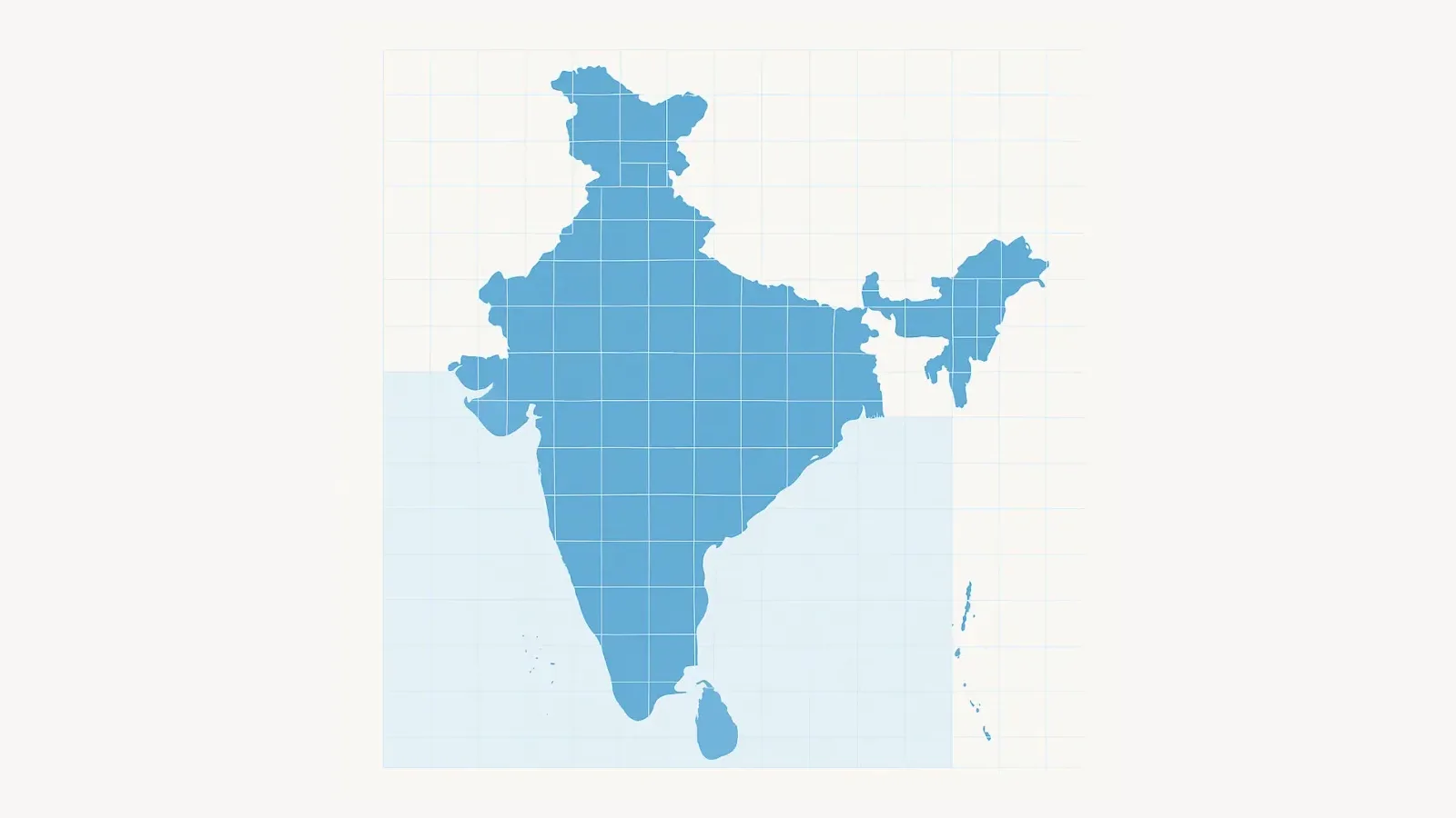
For decades, India has relied on human-readable addresses like street names, landmarks, apartment numbers and informal directions that vary widely across cities and rural regions. These descriptors work for person-to-person communication, but they are inherently ambiguous for machines, navigation systems, autonomous vehicles and emergency services.
India’s new Digipin (Digital Postal Index Number), developed by India Post with IIT Hyderabad and ISRO’s National Remote Sensing Centre, introduces a radically precise alternative: a permanent, machine-readable digital address for every 4×4 meter square in the country.
This is one of the most significant geospatial infrastructure upgrades in India’s recent history.
Why India Needed a Digital Addressing System#
India’s geography is heterogeneous. A formal street-based system works reasonably well in planned urban environments but collapses in:
- dense urban slums
- rural villages without named streets
- expanding peri-urban zones
- hilly terrain
- informal settlements
- remote maritime regions
On top of that, GPS pins on commercial map apps often point to:
- the wrong gate of a society
- the back entrance of a building
- the wrong side of the road
- the rooftop instead of the ground entrance
- a location that drifts because of GPS jitter
This imprecision affects logistics, emergency response, drone operations and even government service delivery.
Digipin tries to fix this at national scale by offering a single, uniform, precise and permanent digital address format.
How Digipin Works: The Technical Architecture Simplified#
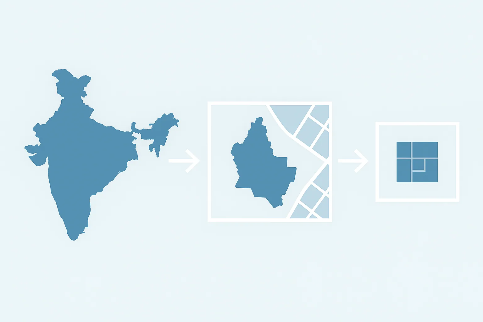
Digipin is built on a hierarchical recursive subdivision system, similar to the spatial hashing techniques used by GIS engines and autonomous navigation algorithms.
1. National bounding grid#
The entire geographic boundary of India, spanning the mainland and maritime zones, is first enclosed in a rectangular bounding box defined by extreme latitude and longitude values.
2. Recursive division into 16-unit blocks#
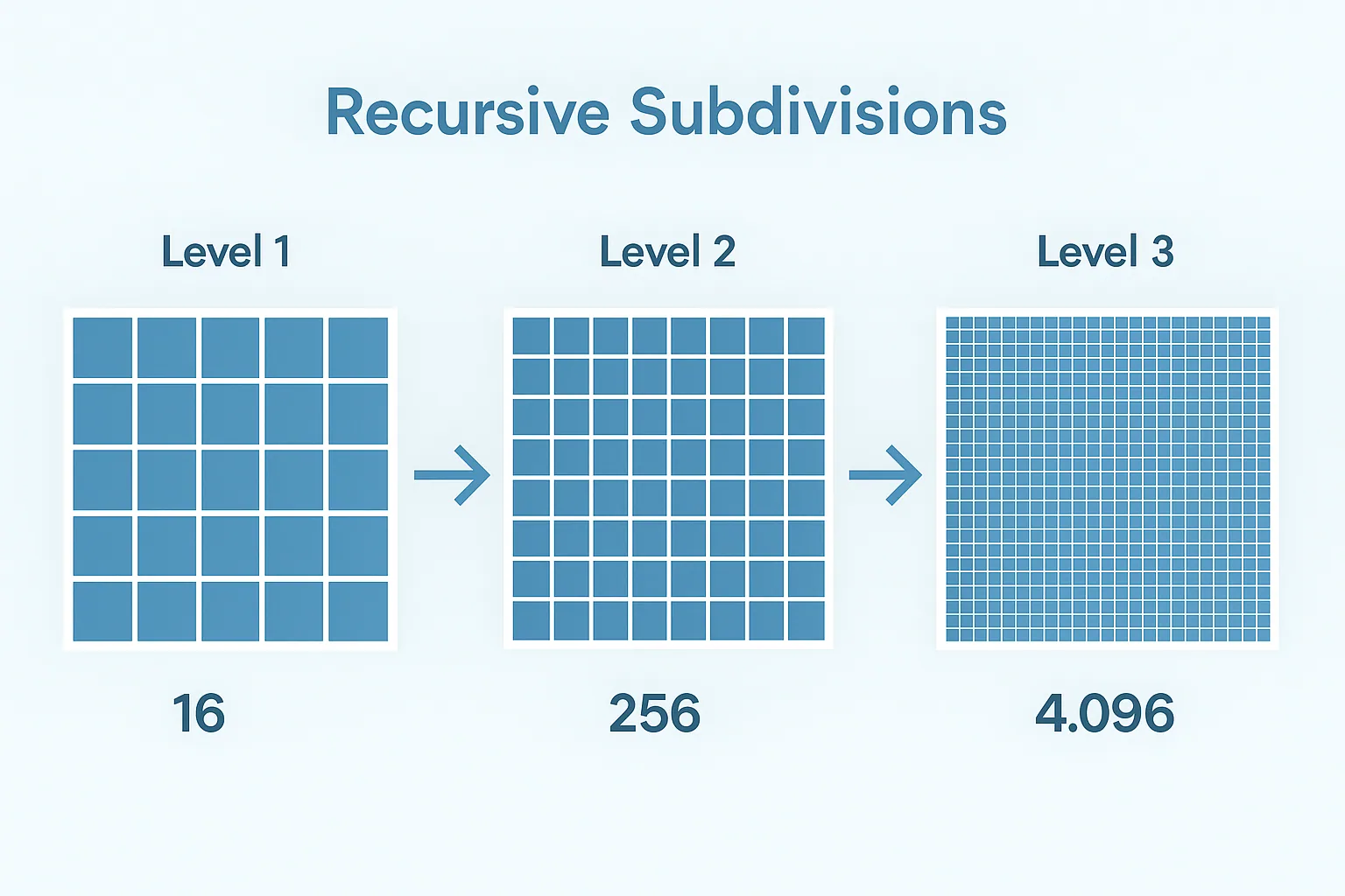
This bounding area is divided into 16 equal blocks arranged in a 4×4 grid. Each block is assigned one character from a predefined 16-character set.
Each of these blocks is again divided into 16 smaller blocks. This process is repeated 10 times.
The 10 characters collected across these 10 subdivisions form the Digipin.
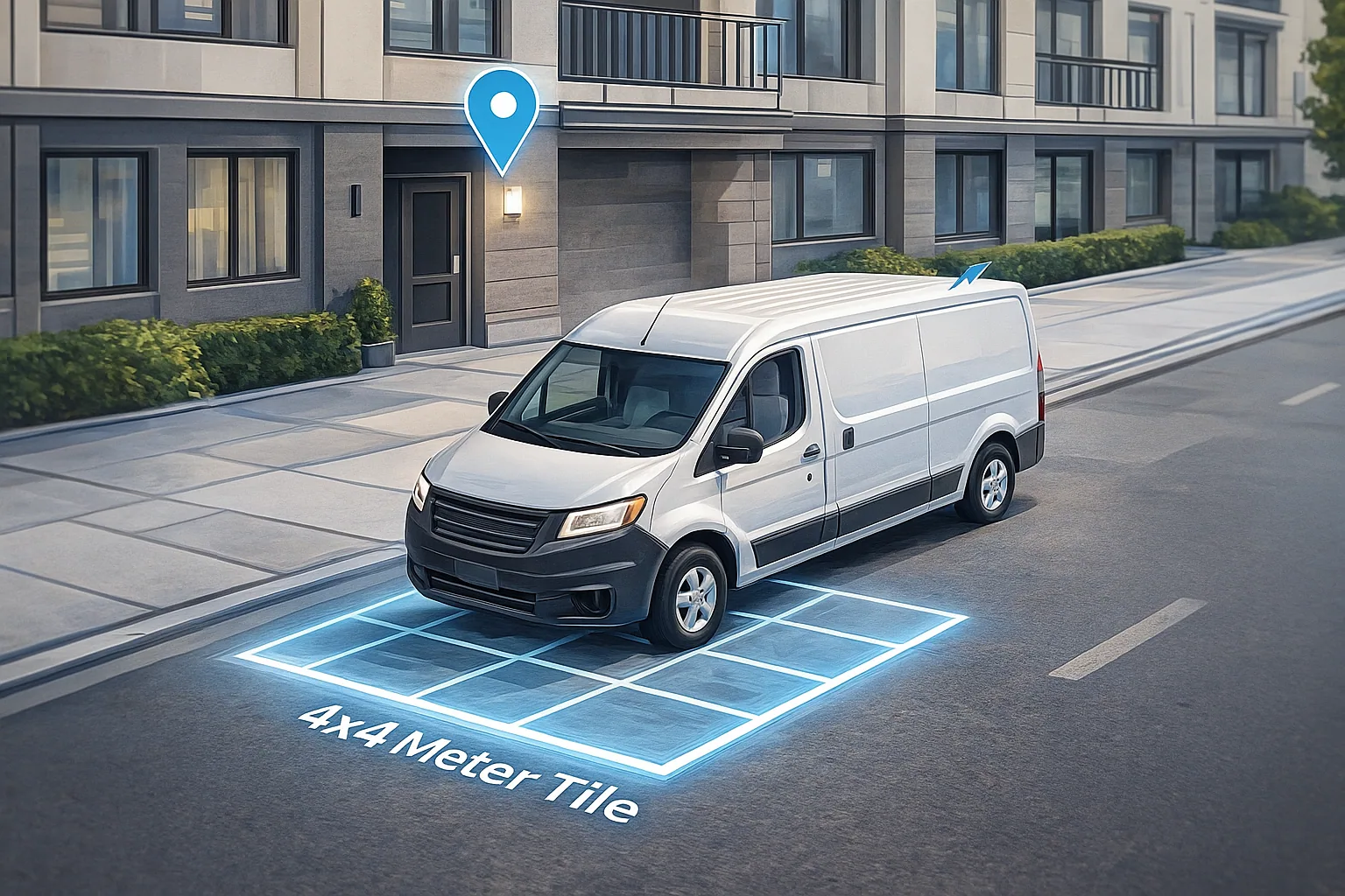
By the final level, the grid cell is 4×4 meters, a precise geographic tile.
Why Only 16 Characters Are Used#
Digipin’s character set is deliberately minimal and carefully chosen. It includes:
- Numbers: 2, 3, 4, 5, 6, 7, 8, 9
- Letters: C, F, J, K, L, M, P, T
These characters were selected to:
- avoid confusion between similar-looking characters (for example O/0 and I/1)
- prevent meaningful or offensive words from forming (by removing vowels)
- stay clear when read from handwritten or low-resolution forms
Each character encodes one of sixteen possible subdivisions at each level of the hierarchy.
What Makes Digipin Different from Existing Solutions#
Systems like Google Plus Codes and What3Words offer global alternatives, but Digipin differs in fundamental ways:
- it is sovereign and fully owned by the Government of India
- its algorithm and standards are open and publicly accessible
- it integrates with national databases, postal systems and e-governance frameworks
- it is fully offline-computable with geospatial formulas
- it covers India’s Exclusive Economic Zone, enabling maritime applications
- it is tailored to India’s infrastructural, logistic and linguistic realities
This makes Digipin a long-term piece of infrastructure comparable to Aadhaar or UPI, but for the identity of physical locations.
Practical Applications Across Industries#
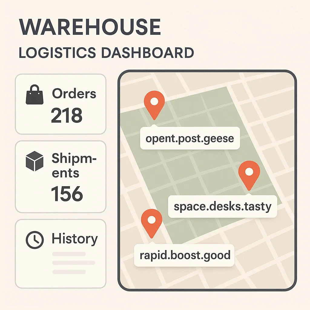
1. Logistics and last-mile delivery#
Delivery staff currently rely on imprecise map pins, ambiguous addresses and repeated phone calls for clarification. Digipin enables:
- accurate gate-level navigation in large apartment complexes
- entrance-specific delivery routing
- consistent addressing in rural and semi-urban areas
- automated routing algorithms for large delivery fleets
For high-density urban logistics, even a 20-meter error creates real inefficiency. A 4-meter resolution removes that uncertainty.
2. Emergency response#
During floods, landslides or structural collapses, physical landmarks disappear. Digipin provides:
- location certainty even when buildings are destroyed
- precise rescue coordinates
- asset mapping for disaster mitigation teams
The system can mark a location on an empty plot, a shoreline or an open field with equal accuracy.
3. Drone delivery and autonomous mobility#
Drones need precise geospatial coordinates for:
- landing zones
- safe corridor navigation
- drop-off points
Digipin’s predictable spatial hierarchy fits autonomous navigation algorithms well and allows error-tolerant routing.
4. Maritime and offshore use cases#
Because the system maps the EEZ, Digipin enables:
- distress coordination for fishermen
- coast guard navigation
- offshore asset management
- marine research mapping
A vessel in distress can share a Digipin to convey a precise sea location without relying on complex latitude–longitude formats.
5. Rural and semi-urban address inclusion#
Millions of homes in rural India have no standard street address. Digipin gives them:
- a formal, unique digital identity
- immediate usability for KYC, deliveries and government services
- uniformity across terrains and settlement types
This can materially improve access to essential services.
How Individuals Can Generate Their Digipin#
The system is already live.
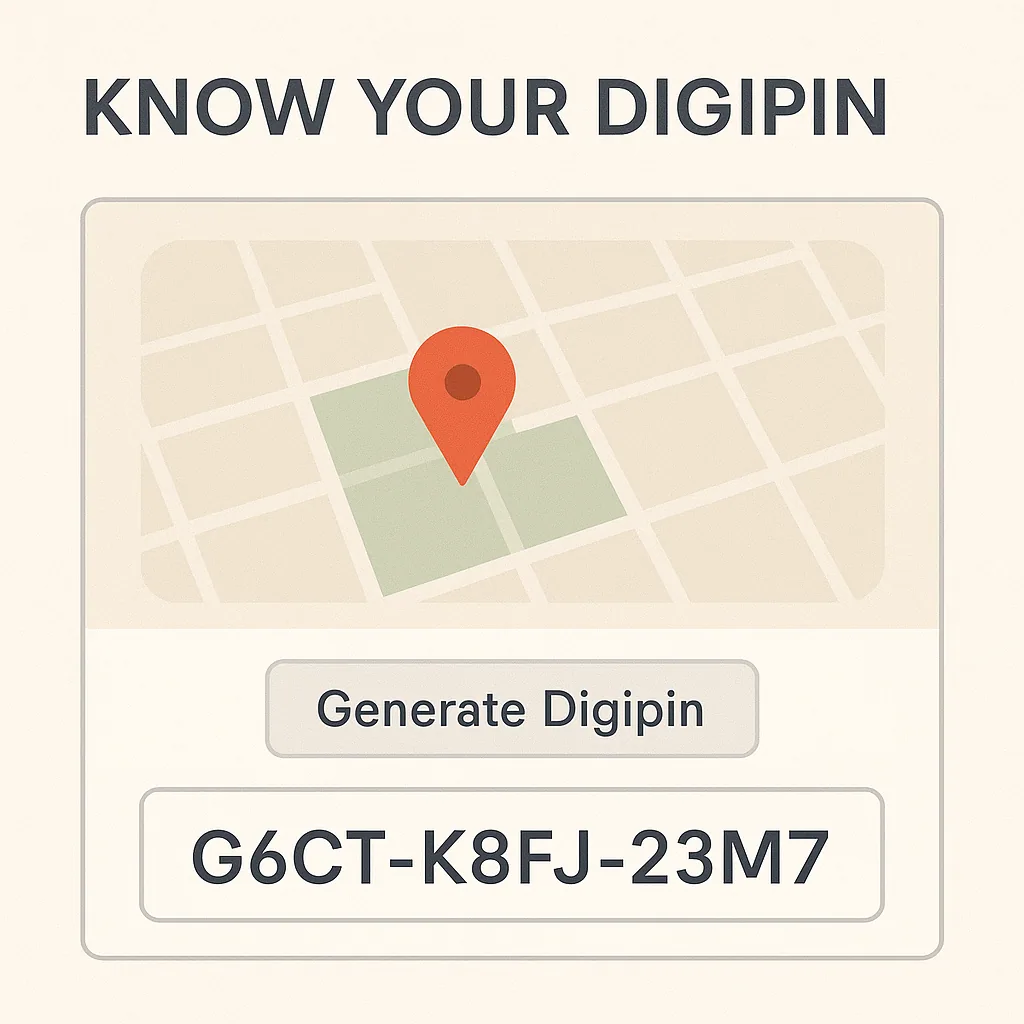
- Visit the official portal: https://dac.indiapost.gov.in
- Navigate the map interface.
- Drop a pin at your precise location (entrance, gate or doorstep).
- Retrieve your 10-character Digipin code.
- Save it and share it whenever you need to communicate a precise location.
The Digipin stays the same even if roads are renamed, buildings are renumbered or the surrounding infrastructure changes.
Why Digipin Represents a National-Scale Technological Shift#
India is building a layer of geospatial identity, much like the internet uses URLs or banking uses account numbers. The move standardizes physical location in a way that is:
- machine-readable
- impossible to misinterpret
- permanent and stable
- easy to integrate across government and private systems
- ready for future technologies, including IoT and robotics
Much like Aadhaar established a universal identity system for people, Digipin establishes one for places.
Conclusion#
Digipin is not simply an alternative to traditional addresses. It is a structural modernization of how India defines, stores, shares and navigates physical space. With precision down to a 4×4 meter tile, the system is poised to transform logistics, emergency response, governance, autonomous mobility and maritime safety.
As India digitizes its economy and infrastructure, Digipin provides a foundational layer that future innovations will build on, bridging physical geography and digital systems with unprecedented accuracy.
Filed under geospatial, digipin, india

Written by Dhananjay Aggarwal